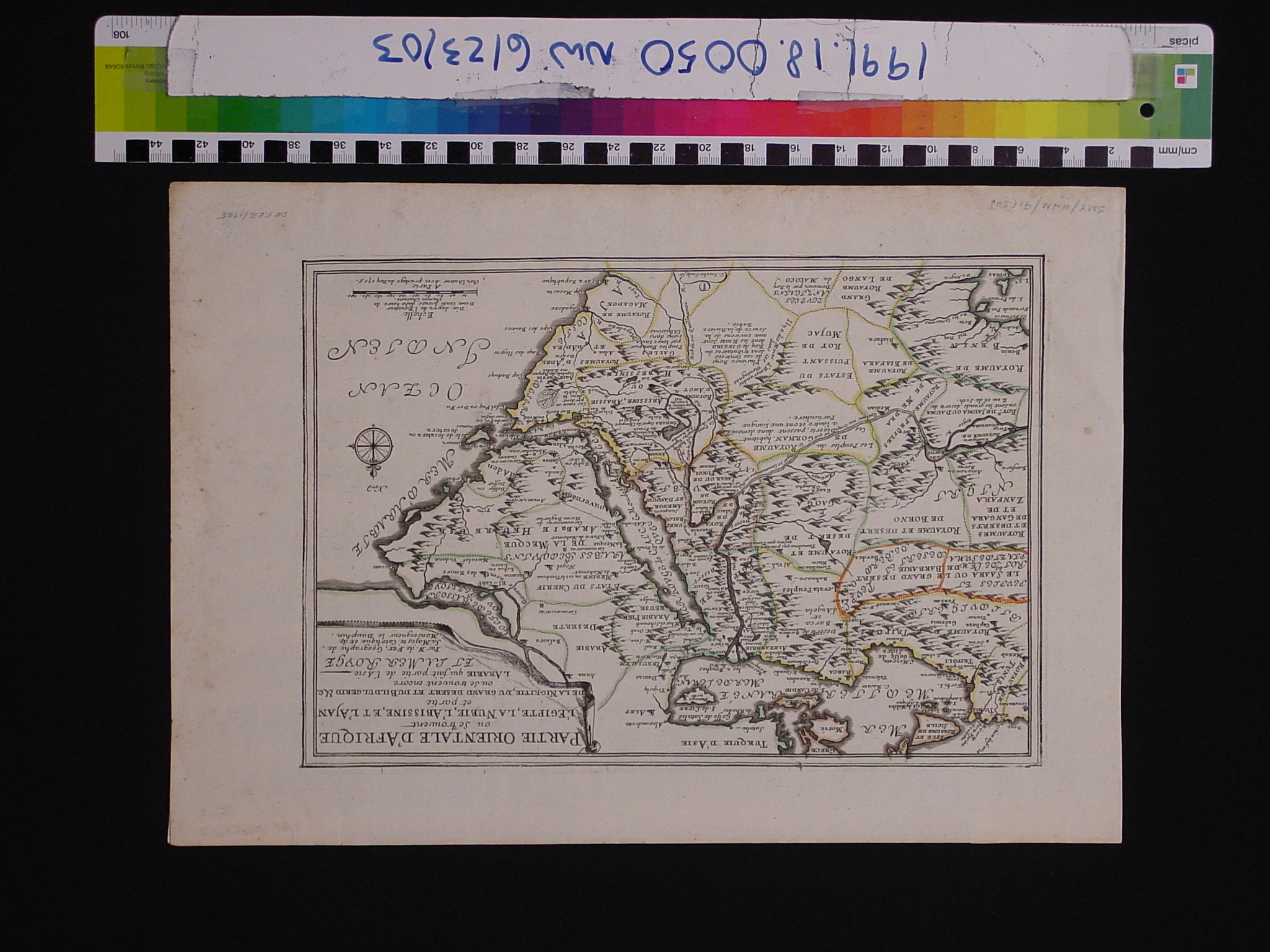
Map: Oriental Africa and Arabia
1991.18.0050

Detailed Images
Basic Information
| Artifact Identification | Map: Oriental Africa and Arabia (1991.18.0050) |
|---|---|
| Classification/ Nomenclature |
|
| Artist/Maker | de Fer |
| Geographic Location | |
| Period/Date | 1705 CE |
| Culture | French - western |
Physical Analysis
| Dimension 1 (Width) | 41.6 cm |
|---|---|
| Dimension 2 (Height) | 28.6 cm |
| Dimension 3 (Depth) | <0.1 cm |
| Weight | 10 g |
| Measuring Remarks | None |
| Materials | paper |
| Manufacturing Processes | Printed |
| Munsell Color Information | Yellowish White (2.5Y 9/2) -Background. Moderate Olive Brown (2.5Y 3/2) -Shores of Mer Rouge. Light Yellow (2.5Y 8.5/8) -Outline of Abyssinie. |
Research Remarks
| Published Description | N/A |
|---|---|
| Description | N/A |
| Comparanda | N/A |
| Bibliography | N/A |
Artifact History
| Archaeological Data | N/A |
|---|---|
| Credit Line/Dedication | The Seymour and Muriel Yale Collection of Coins of the Ottoman Empire and Other Middle East States |
| Reproduction | N/A |
| Reproduction Information | N/A |