Map: Asia
1990.13.0001
Detailed Images
Basic Information
| Artifact Identification | Map: Asia (1990.13.0001) |
|---|---|
| Classification/ Nomenclature |
|
| Artist/Maker | Ptolemy's Universal Geography Magini, G. Editor Printer: Peter Keschedt Germany |
| Geographic Location | |
| Period/Date | 1598 CE |
| Culture | Italian |
Physical Analysis
| Dimension 1 (Width) | 19.5 cm |
|---|---|
| Dimension 2 (Length) | 17.7 cm |
| Dimension 3 (N/A) | N/A |
| Weight | 3 g |
| Measuring Remarks | None |
| Materials | paper--rag, pigment--ink |
| Manufacturing Processes | Printed |
| Munsell Color Information | white (5y 8/2) -ns black ( 5y 2.5/2) -ns |
Research Remarks
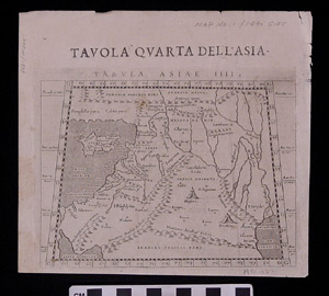
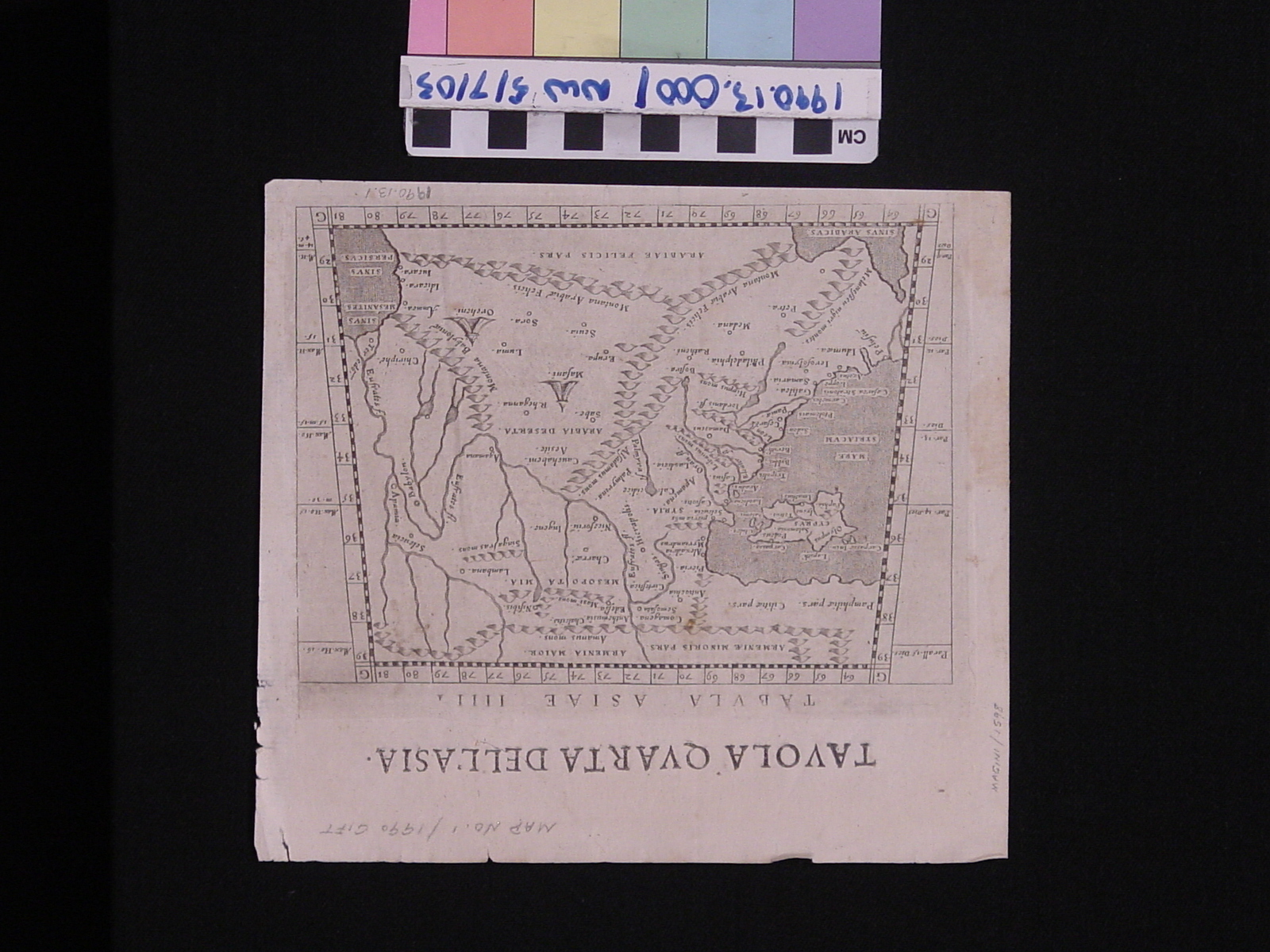
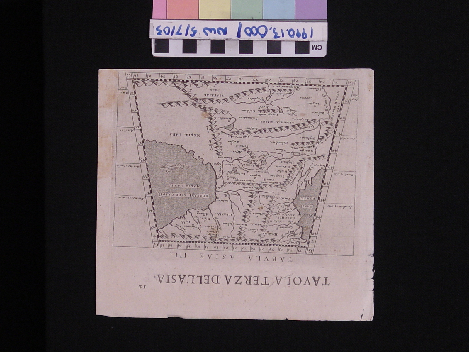
| Published Description | Page or fragment of page from an atlas (or perhaps a looseleaf collection of maps). Text in Italina and Latin. One side (Map 4) depicts southwest Asia from the Nile delta to the Euphrates and from the Arabian mountains up to Armenia and includes Cyprus (28-39º N. lat., 63-81º E. long.). The other side (Map 3) maps the area between the Black and Caspian Seas (38-47.5º N lat., 70-86º E long.). |
|---|---|
| Description | N/A |
| Comparanda | N/A |
| Bibliography | N/A |
Artifact History
| Archaeological Data | N/A |
|---|---|
| Credit Line/Dedication | The Seymour and Muriel Yale Collection of Coins of the Ottoman Empire and Other Middle East States |
| Reproduction | No |
| Reproduction Information | N/A |