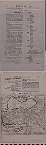
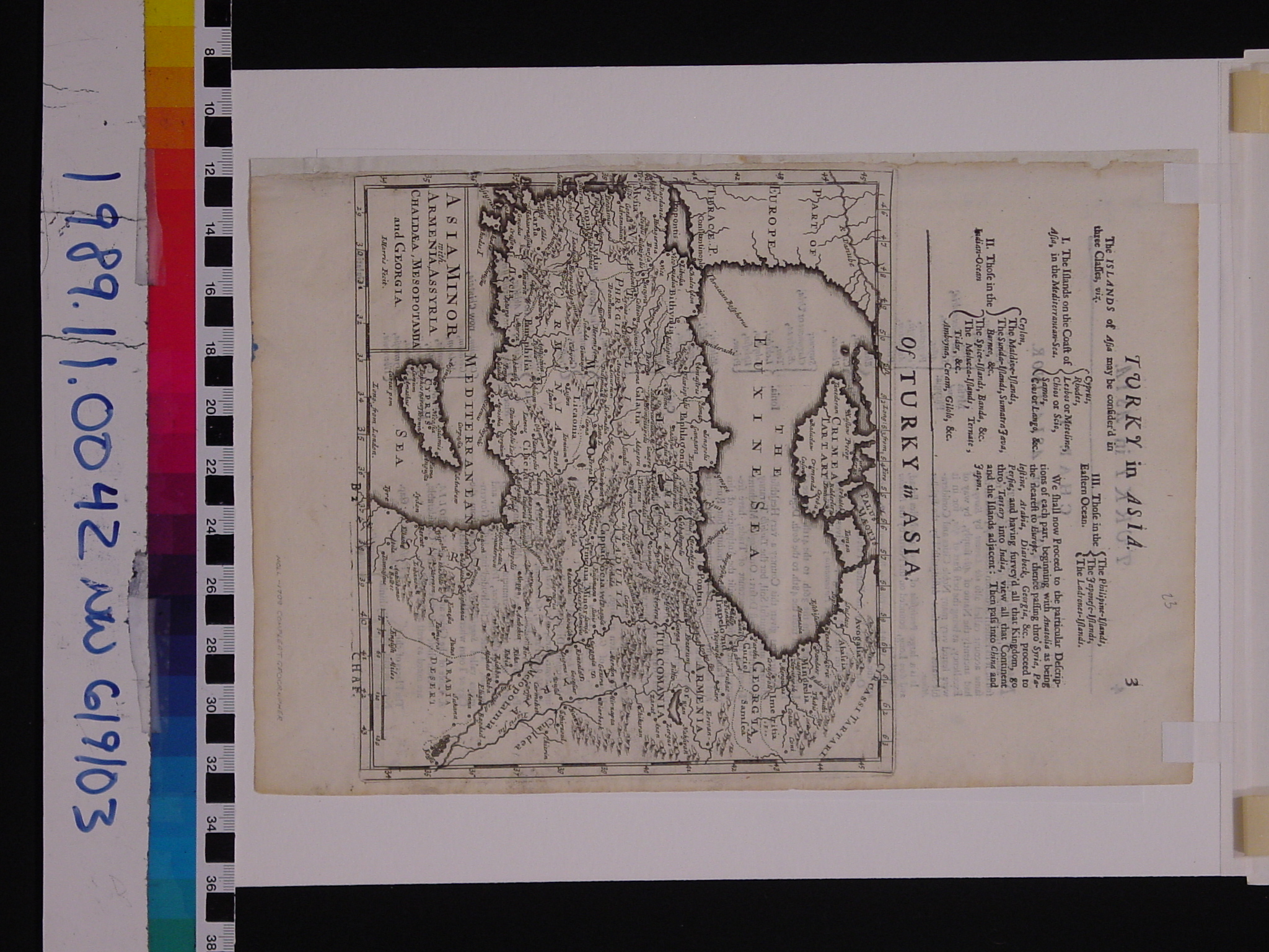
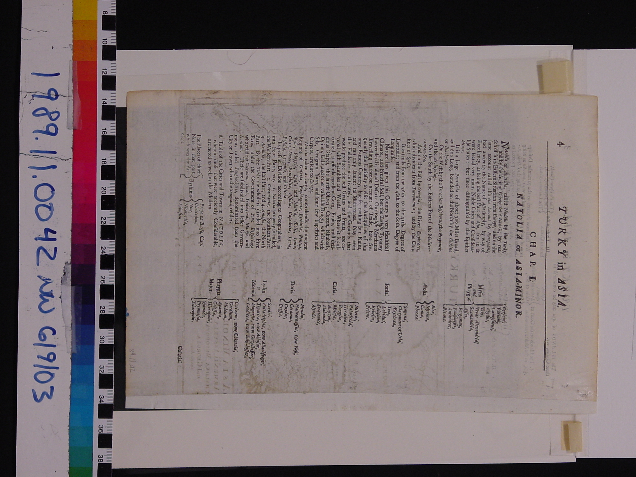
Map: asia minor
1989.11.0042
Detailed Images
Basic Information
| Artifact Identification | Map: asia minor (1989.11.0042) |
|---|---|
| Classification/ Nomenclature |
|
| Artist/Maker | Moll |
| Geographic Location | |
| Period/Date | 1709 CE |
| Culture | British, English |
Physical Analysis
| Dimension 1 (Height) | 31.5 cm |
|---|---|
| Dimension 2 (Width) | 21.5 cm |
| Dimension 3 (Depth) | <0.1 cm |
| Weight | 128 g |
| Measuring Remarks | Weighed in protective plastic cover, paper frame, and backing board. |
| Materials | Paper--rag, Pigment--ink |
| Manufacturing Processes | Printed |
| Munsell Color Information | natural (10yr8/2) -ns black ( 10yr2.5/1) -ns Yellowish Gray (5y 8.5/2) - background (through plastic) Dark Grayish Olive (5y 2/2) - shorelines (through plastic) |
Research Remarks
| Published Description | A map seemingly in a series addressing islands of Asia, again the information on the reverse is probably more interesting than the Donor Files which make reference to Kinross' description of Russo-Turkish dealings in the Crimea. |
|---|---|
| Description | N/A |
| Comparanda | N/A |
| Bibliography | N/A |
Artifact History
| Archaeological Data | N/A |
|---|---|
| Credit Line/Dedication | The Seymour and Muriel Yale Collection of Coins of the Ottoman Empire and Other Middle East States |
| Reproduction | no |
| Reproduction Information | N/A |